|
|
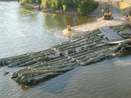
Collapsed sectionTaken from the 10th Avenue Bridge.
|
|
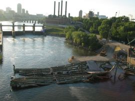
Collapsed Section from the 10th Avenue BridgeIn the background, the lower lock, and further back, the Stone Arch Bridge where the first few pictures in this album were taken.
|
|
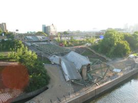
Southernmost access spansThe south side of the bridge, which led to the West Bank campus and downtown.
|
|
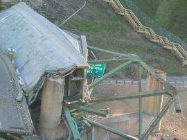
South PierThis was one of two sets of piers that held the main span across the river (no piers were actually in the water). Also of note is the road sign (which says U of MN West Bank Next Right), the construction bathroom, still on the bridge, and the temporary wooden stairway mentioned in earlier photos.
|
|
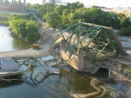
North PierThis was the north-side pier that held the main span across the river.
|
|
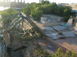
North pier tiltedThe north pier was tilted badly toward the river, but this is likely due to the collapse, not the cause of it.
|
|
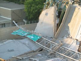
Road Signs and Crumbled DeckingA lot of major roads come together just south of the bridge, and these signs indicated which lanes to stay in depending on which route you wanted.
|
|
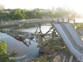
Bridge CollapseView from the north end of the 10th Avenue Bridge. Downtown Minneapolis is in the rightmost background.
|
|
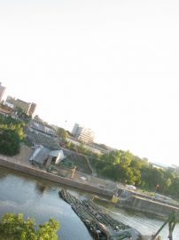
Bridge Collapse looking SouthAnother view from the north end of the 10th Avenue Bridge.
|
|
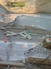
DebrisCrumbled bridge decking, construction barrels, and a sign that lets us know that this used to be "I-35W South Milepost 18.6"
|
|
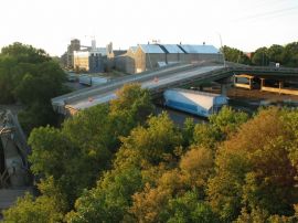
Railway AccidentA train was passing under the bridge when it collapsed. Several cars are still there.
|
|
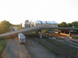
Railway AccidentAnother view of the smashed train.
|
|
| 38 files on 4 page(s) |
2 |  |
|
